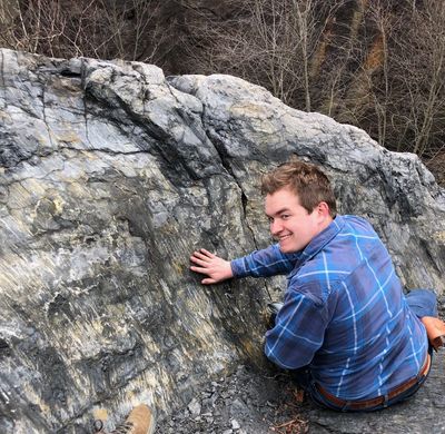
 Undergraduate Geology major Ben Schuler was recently featured on the ESRI Young Professionals Network Blog, where he wrote about his experience working with ArcGIS Pro to build workflows for analyzing satellite data of volcanoes. His project was built upon work done by Dr. Daniel Williams, Dr. Ian Flynn, and Dr. Mike Ramsey from the Department of Geology & Environmental Science at the University of Pittsburgh, who had previously utilized ASTER to observe the volumetric aspects of volcanic eruptions.
Check out his ESRI blog on Automating Workflows using GIS to Rapidly Analyze Volumetric and Thermal Trends of Volcanoes from Spaceborne Imaging
